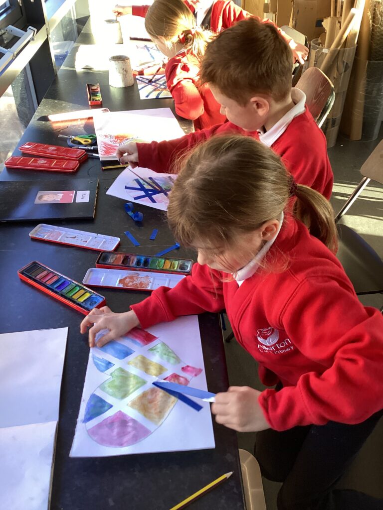
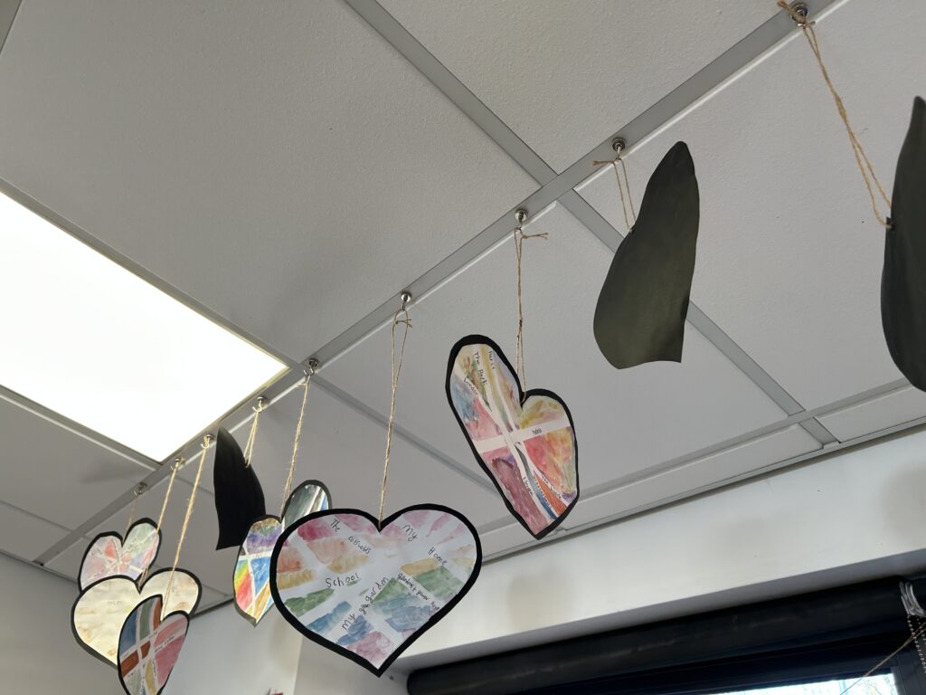
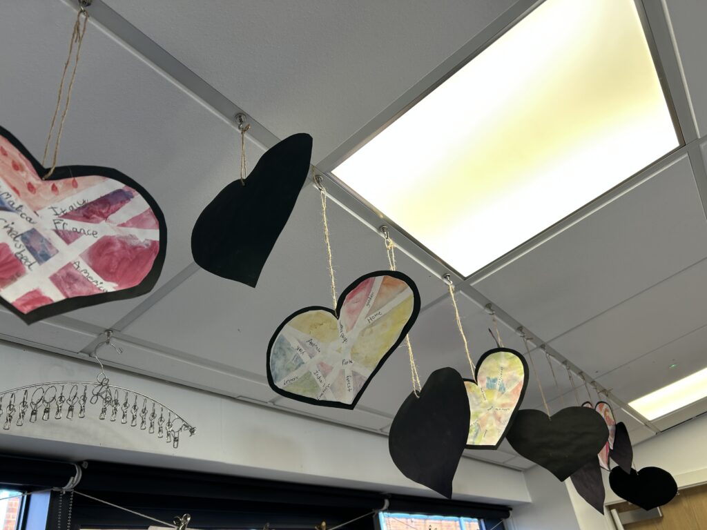
What an amazing fortnight we have had in 2CN. We have been working as ACE Artists and ACE Geographers to explore maps – real and fantasy. We started with special places that matter to us. We began by creating Maps to Our Heart using blue tape and watercolour paint. We carefully thought about the lines, shapes, and patterns we wanted to create to represent our maps. After painting, we gently removed the tape to reveal clear lines, then added our special places.
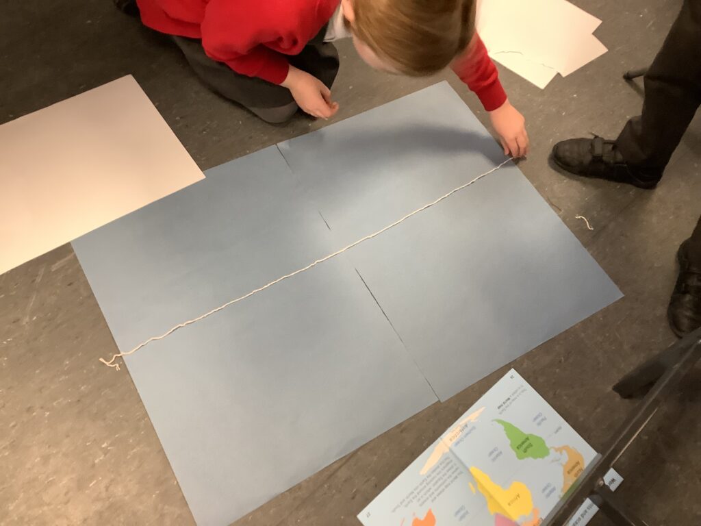
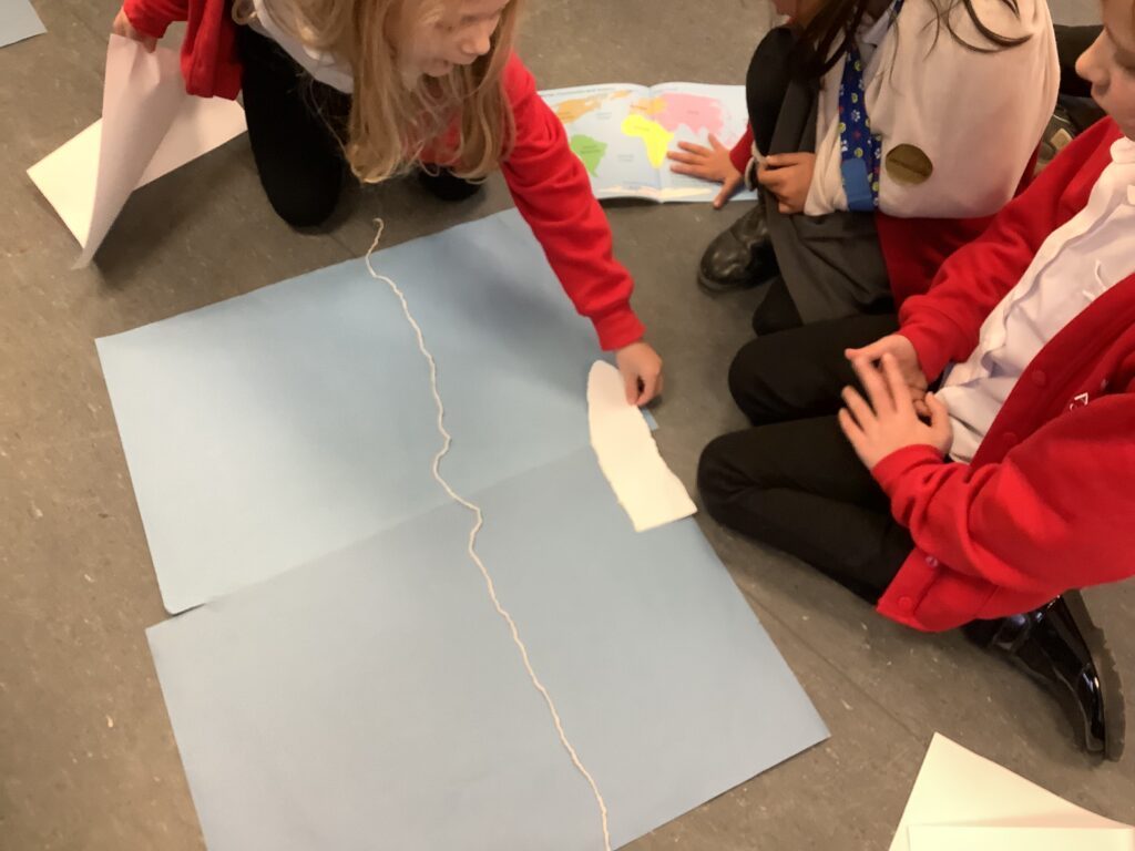
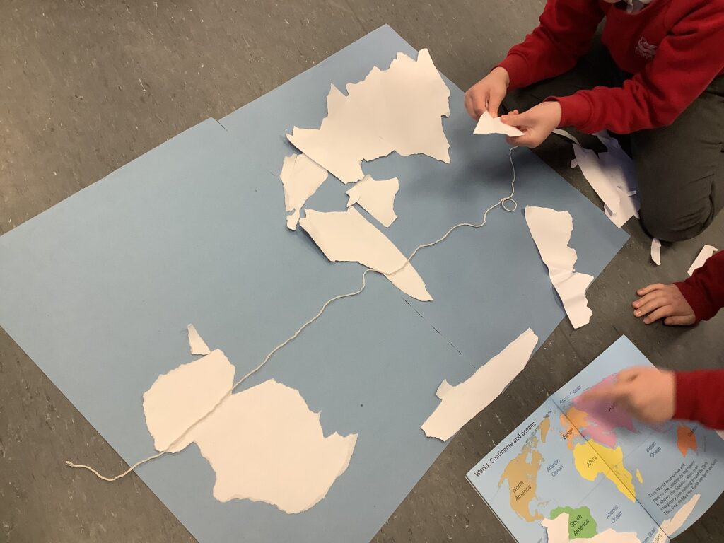
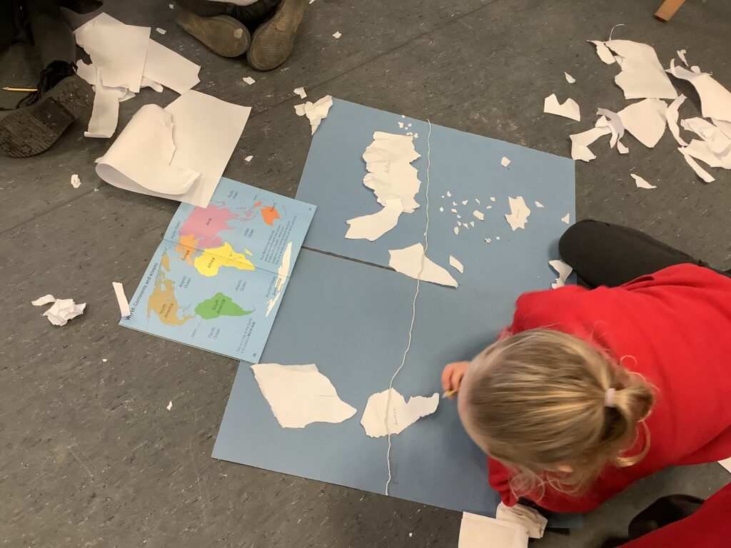
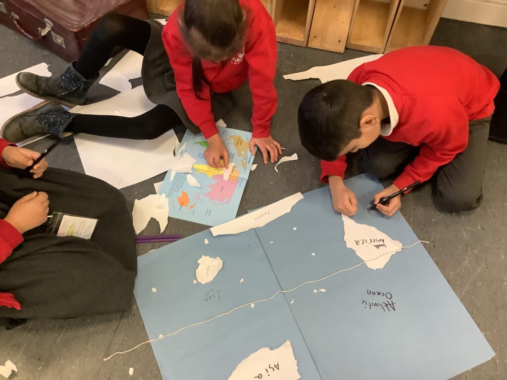
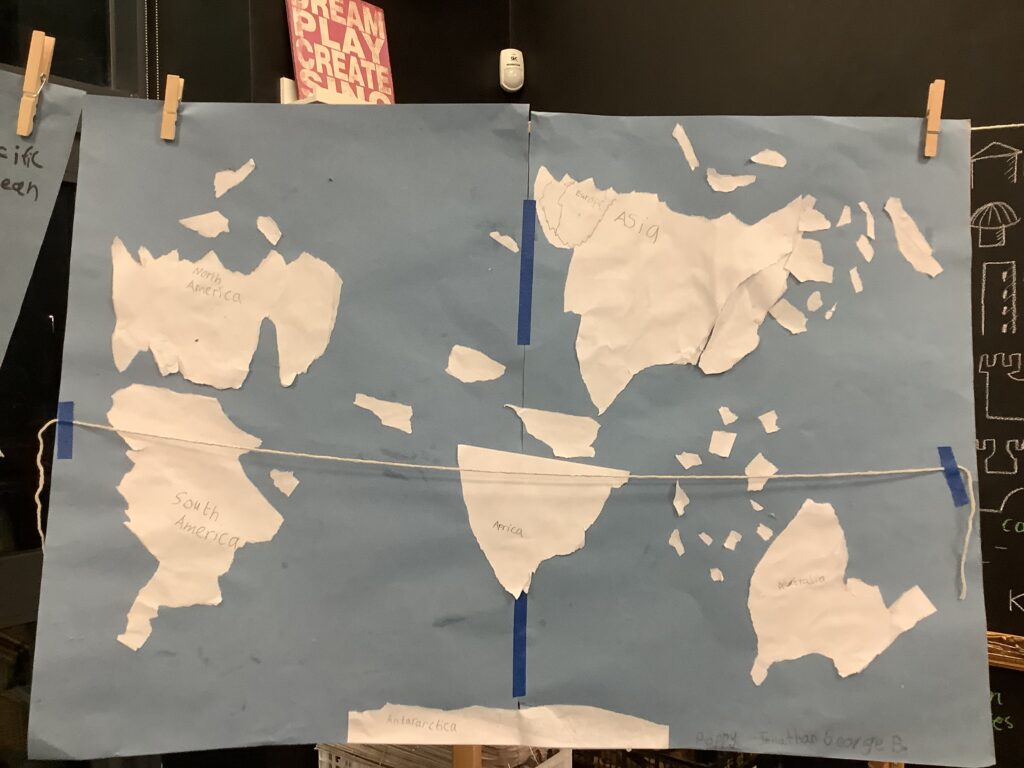
Next, we moved on to ripping, manipulating, and folding paper to create the continents and oceans of our world. We used an equator line to help us position the land correctly. This hands-on activity helped us to visualise land formation and supported us in retrieving our previous Geography learning from last term, including our understanding of land and water.

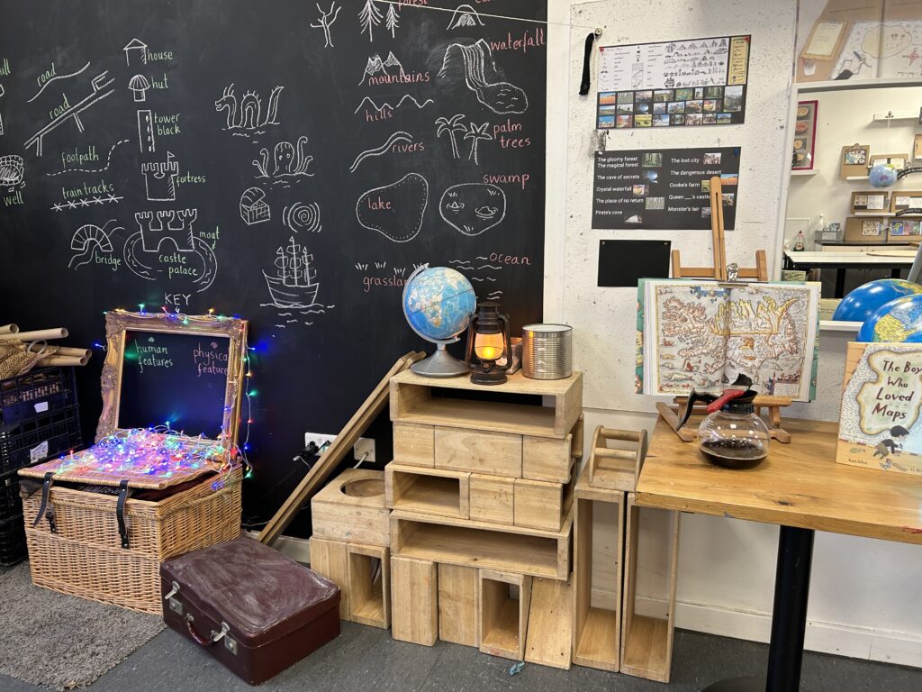
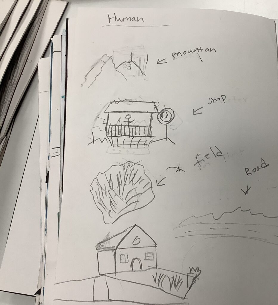
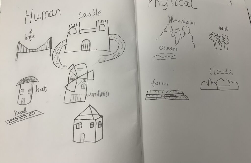
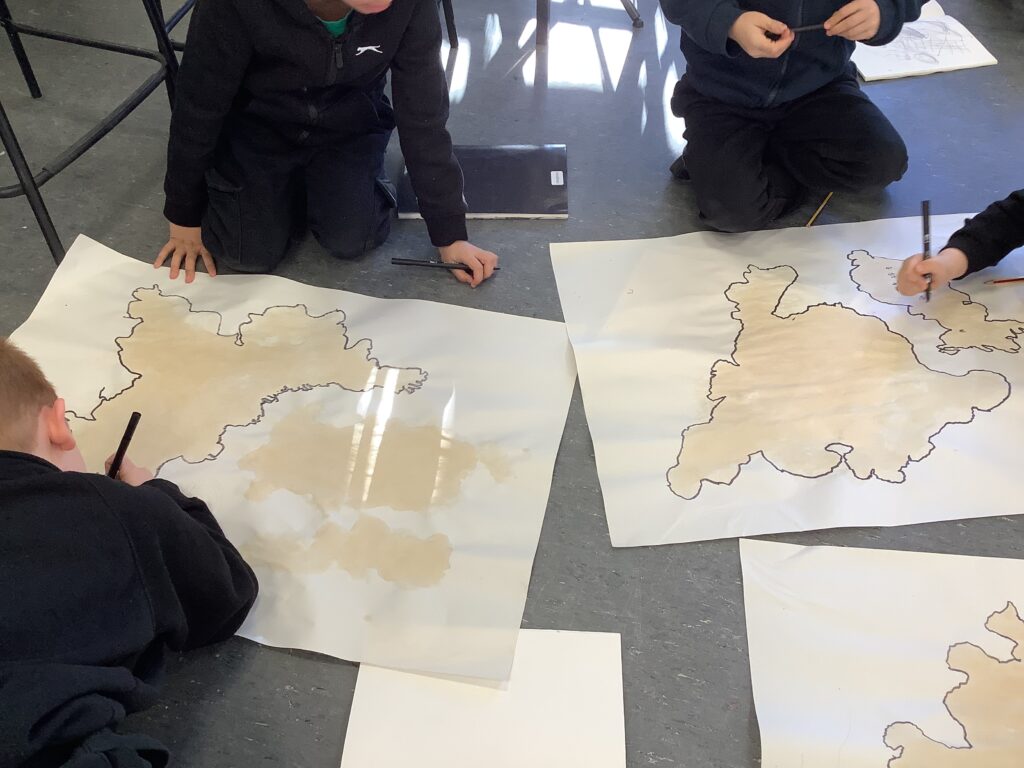
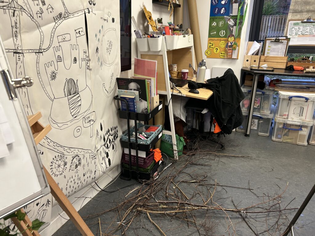
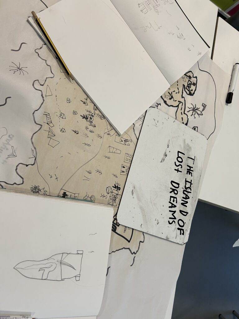
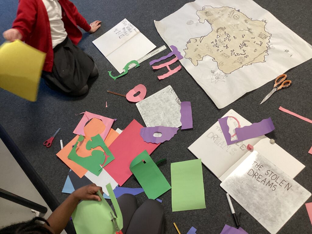
We then moved from studying OS map features to exploring more fantasy-style map symbols. We looked closely at how symbols can be used to represent places and features in creative ways. We grouped these symbols into human features and physical features, helping us to deepen our understanding of how maps can communicate information while also allowing us to use our imagination and design skills.
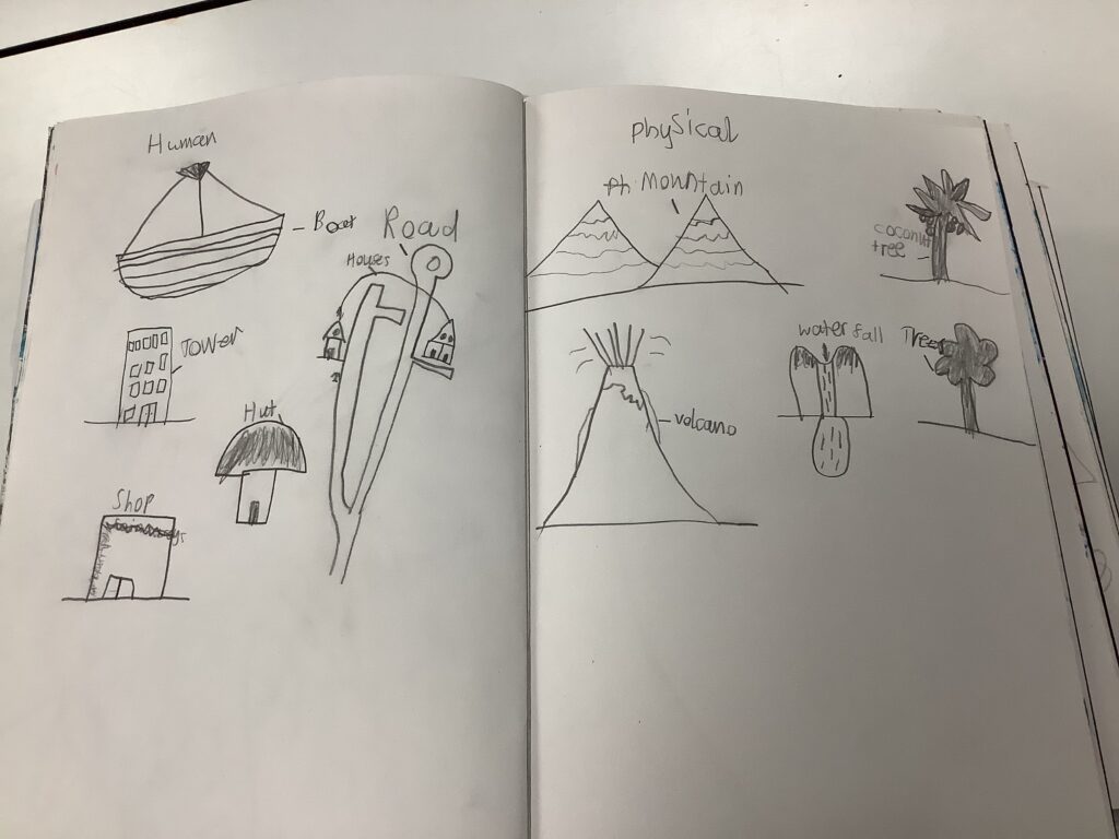
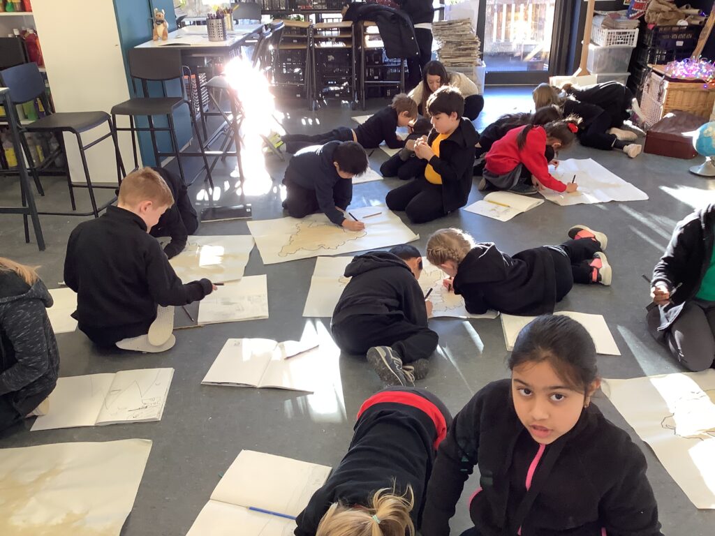
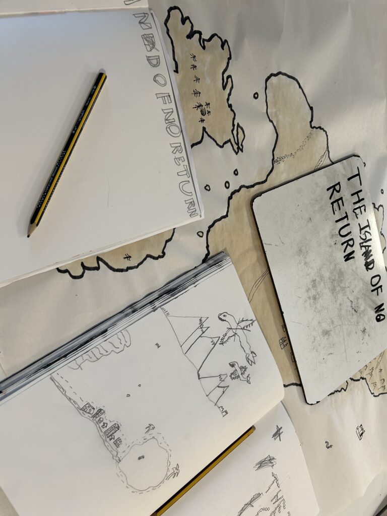
Using these skills, we worked in pairs or trios to apply our map symbols to a newly discovered island. Each island was completely unique and encouraged the children to think carefully about where in the world it was located, such as on the Equator, in the Northern Hemisphere, or the Southern Hemisphere. This helped them decide which human features and physical features would be suitable for their map. Through this process, we were introduced to the role of a cartographer and learned how map-makers use symbols, labels, and keys to clearly communicate information.
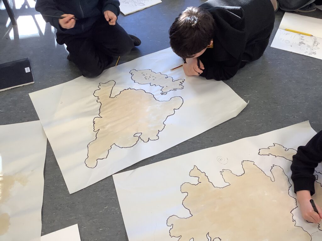
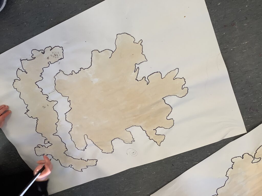
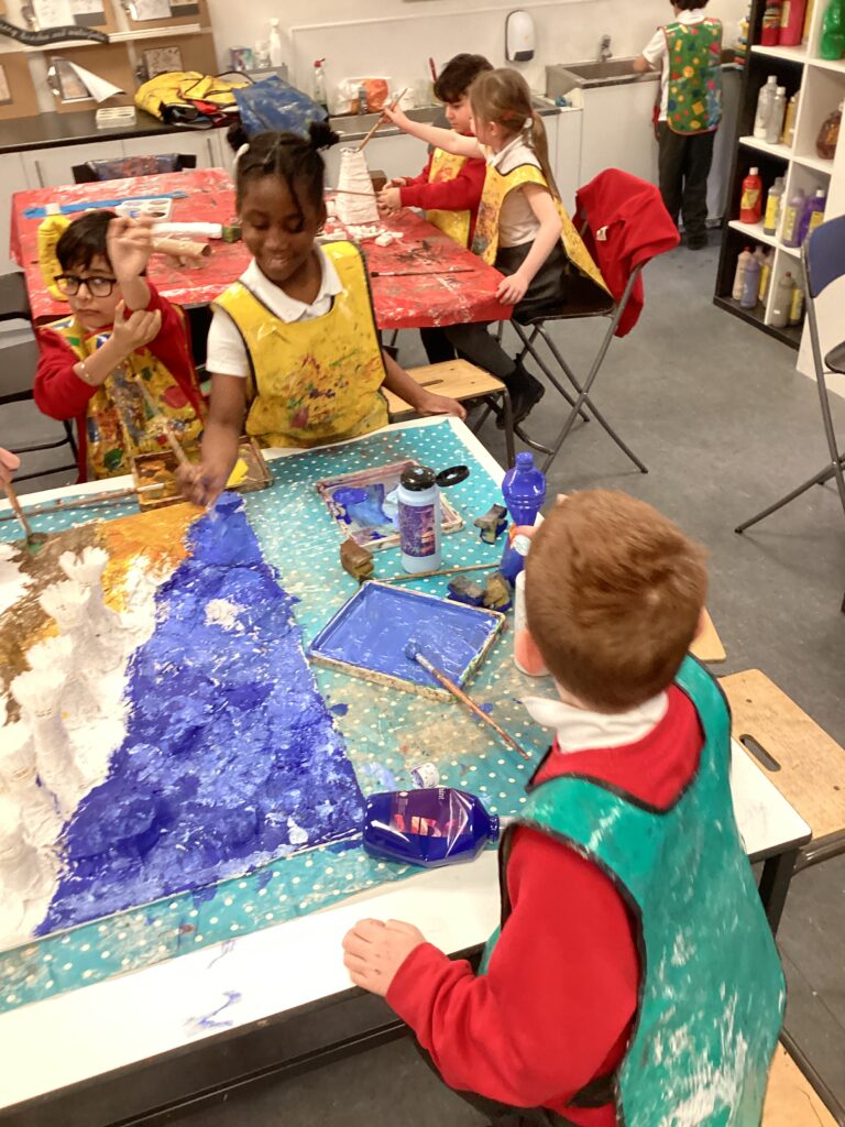
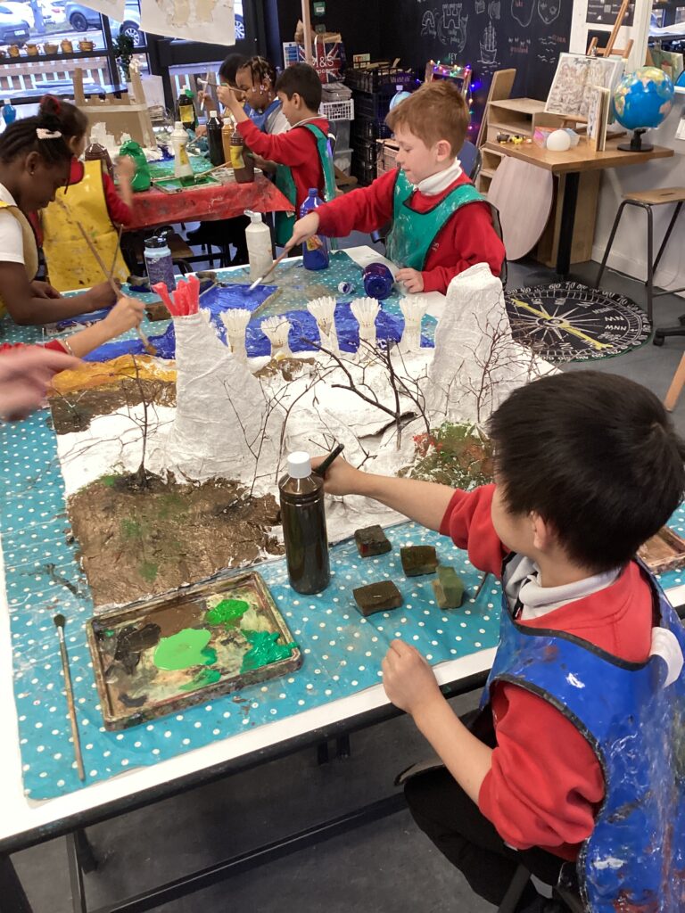
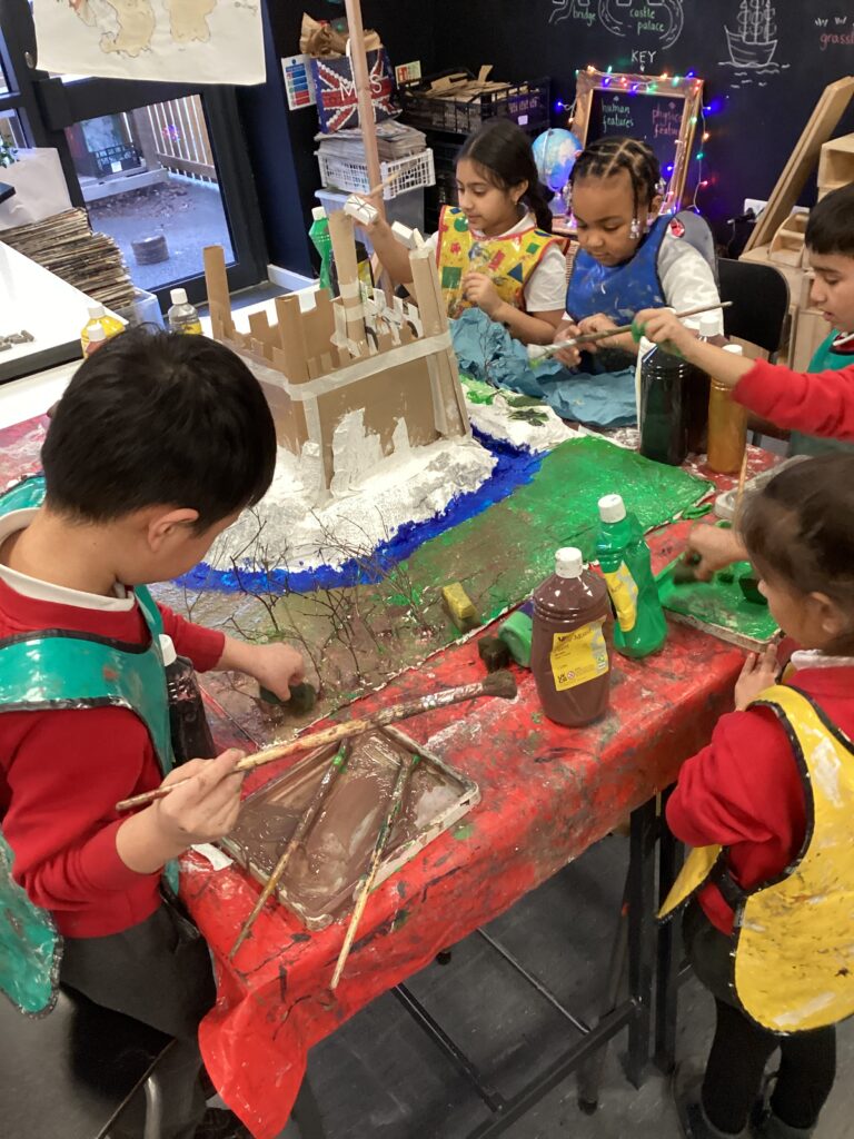
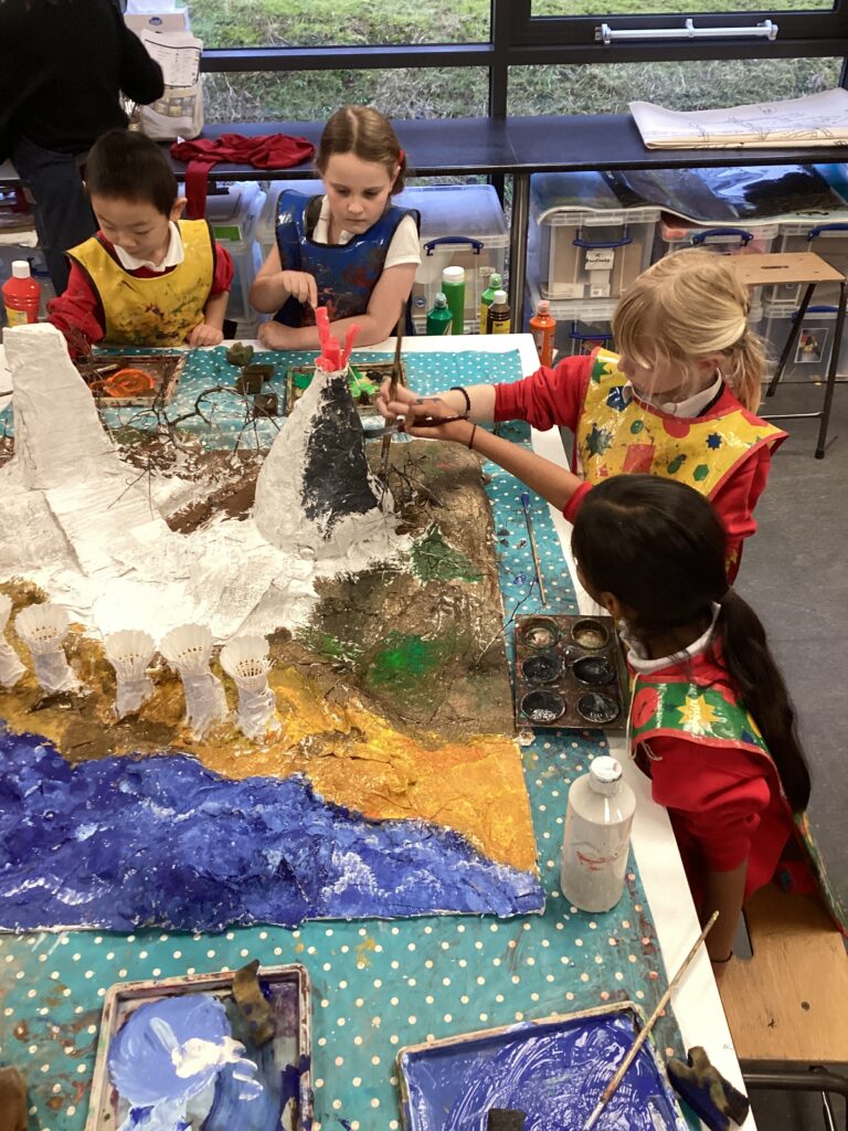
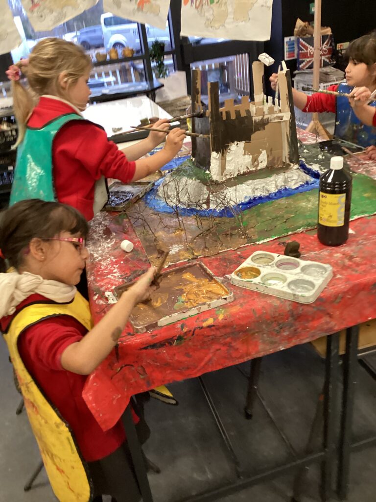
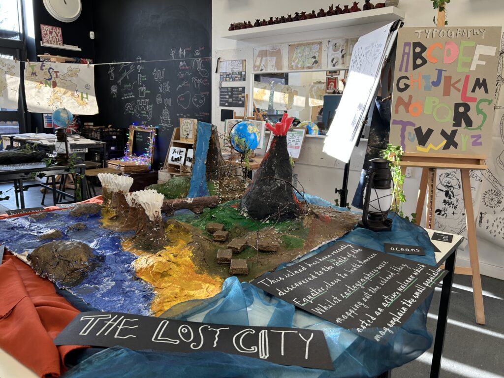
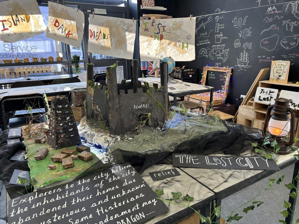
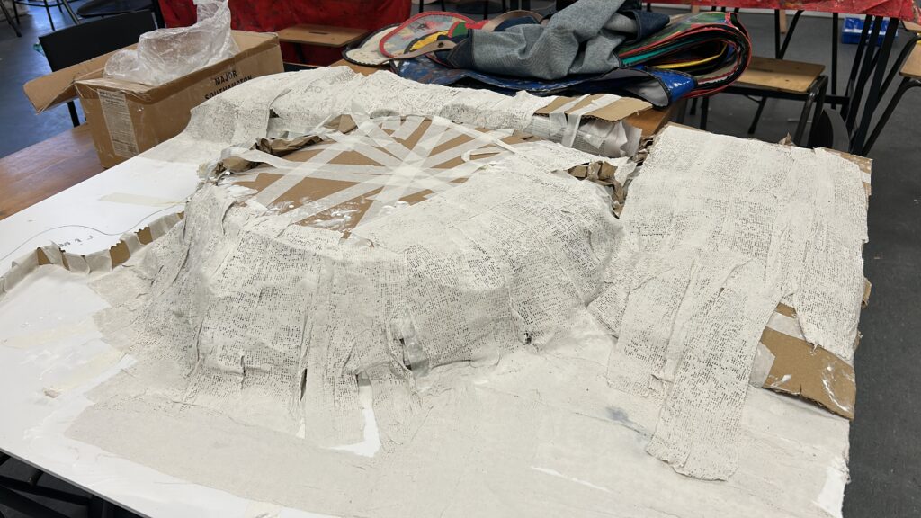
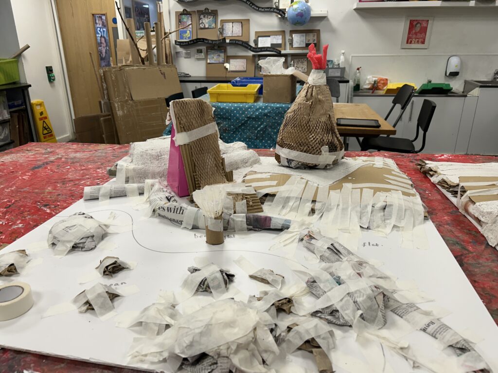
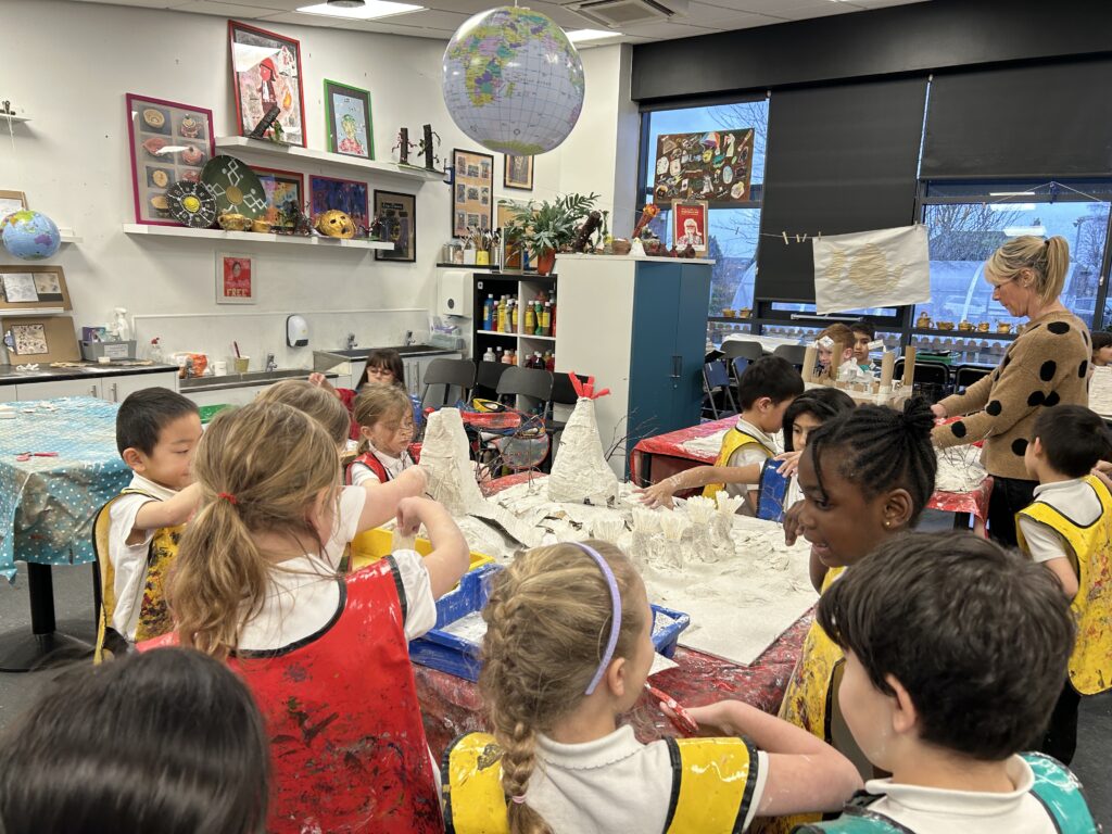
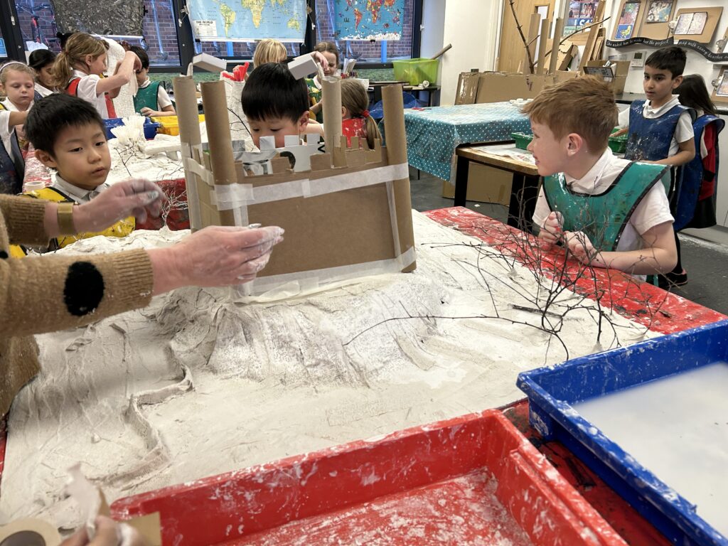
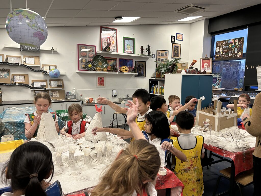
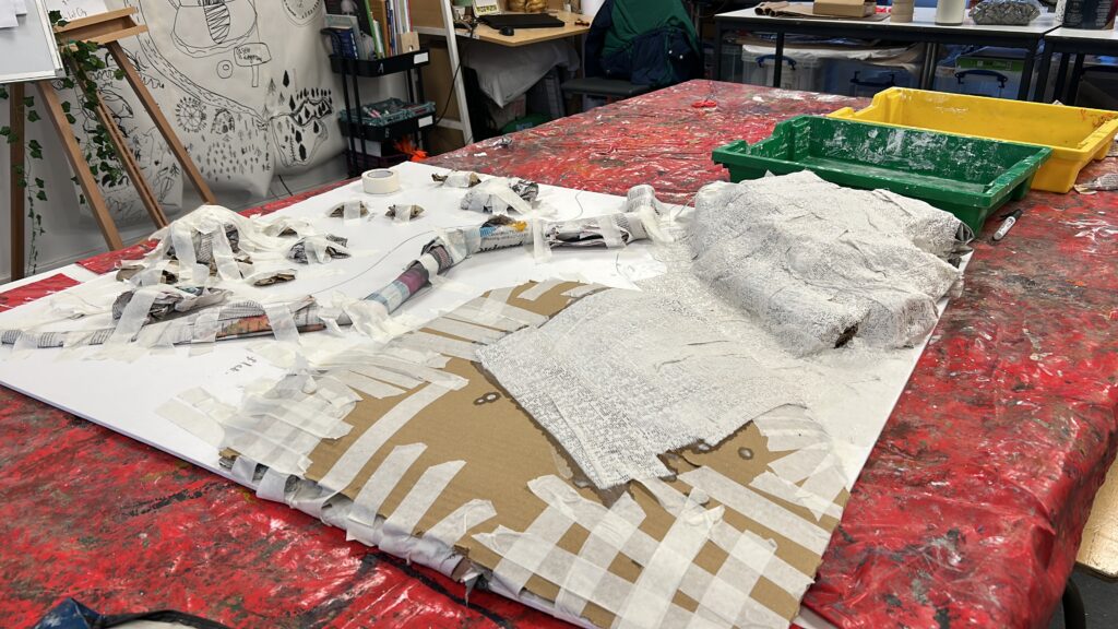
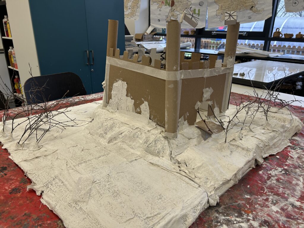
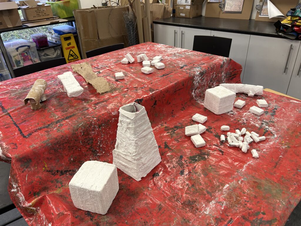
Next, we worked in larger groups and were given the creative brief of either ‘Lost City’ or ‘Forgotten Island’ to scale up our ideas. Using excellent communication and our Team Ant skills, we worked collaboratively to decide which features, terrain, and landforms we wanted to include on our island. We first created a 2D plan, carefully pooling our ideas, before transforming it into a 3D model. This process mirrored our Maths learning on shape and form. We began by building up relief using newspaper, packing, and masking tape, creating raised surfaces and textures ready for the next stage of our work.


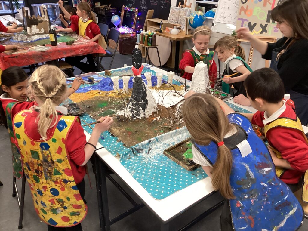
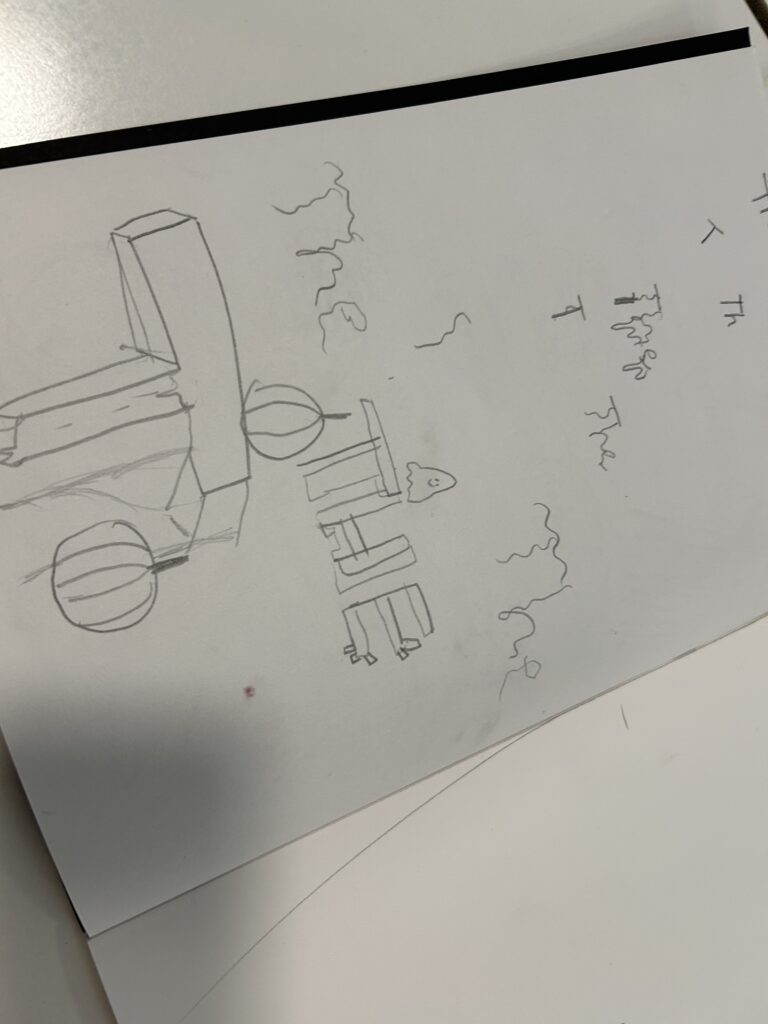
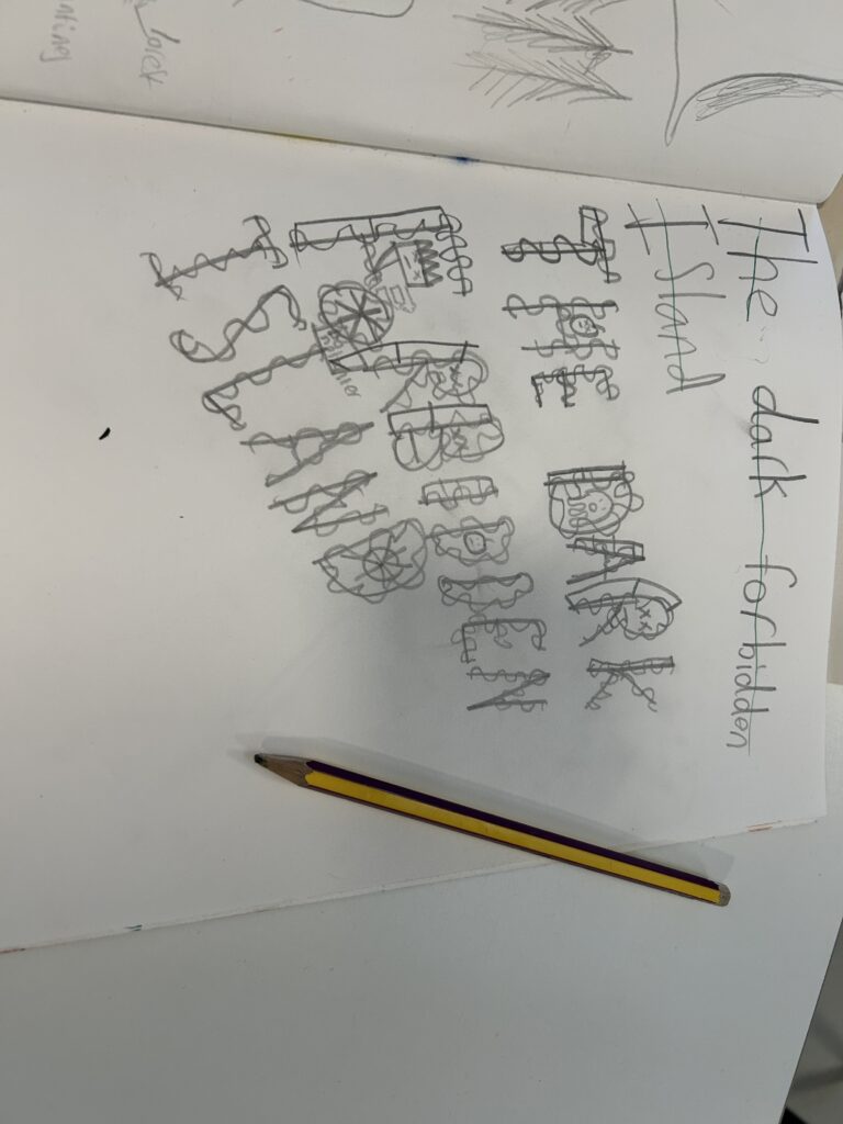
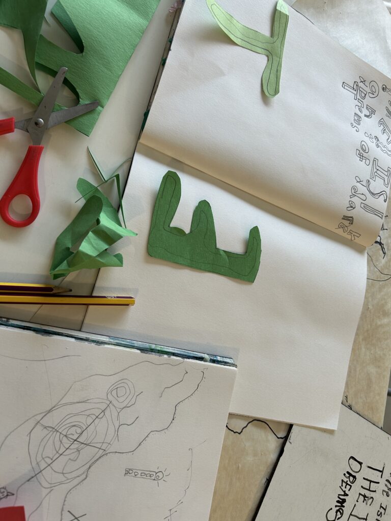
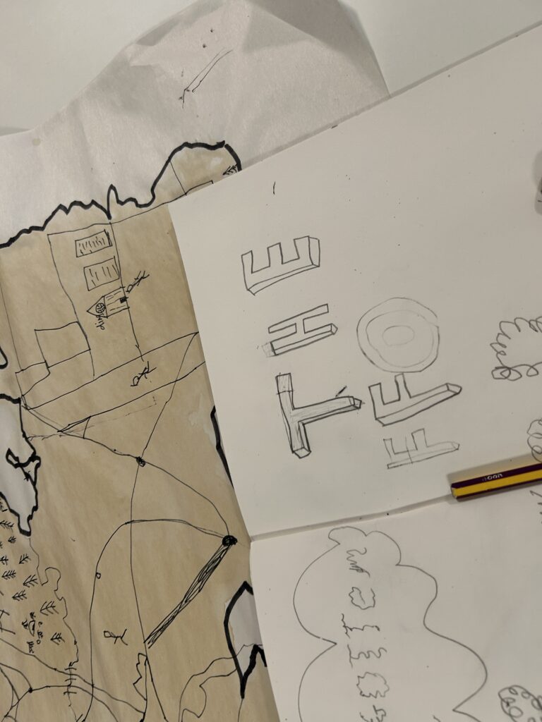
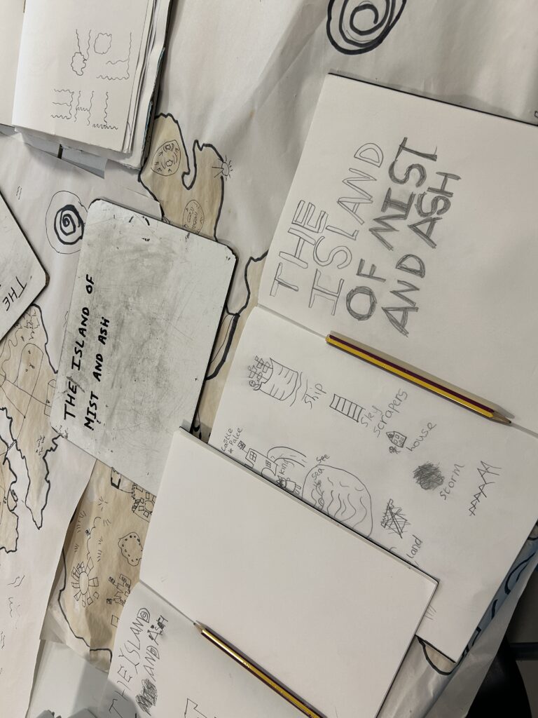
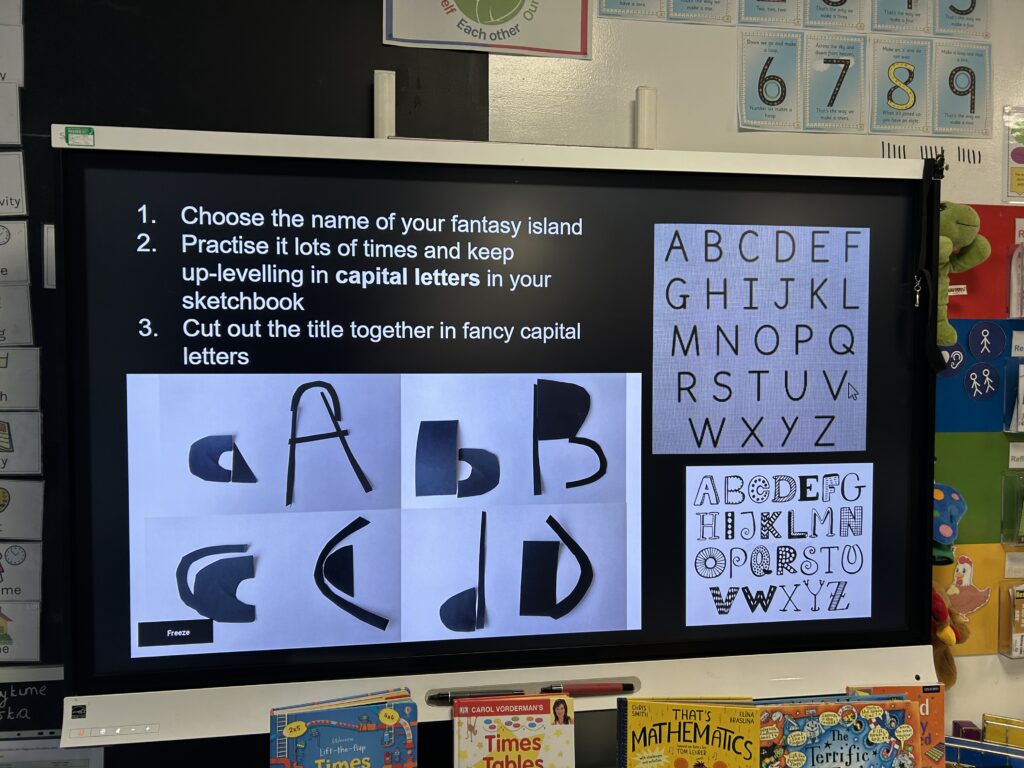
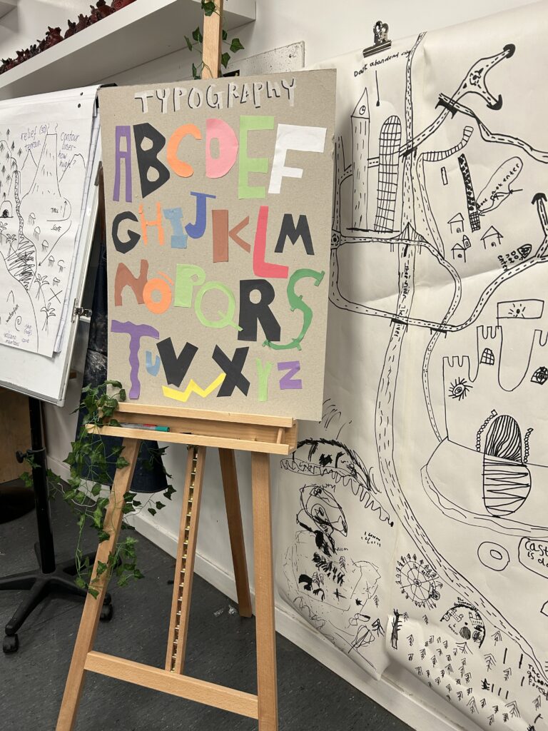
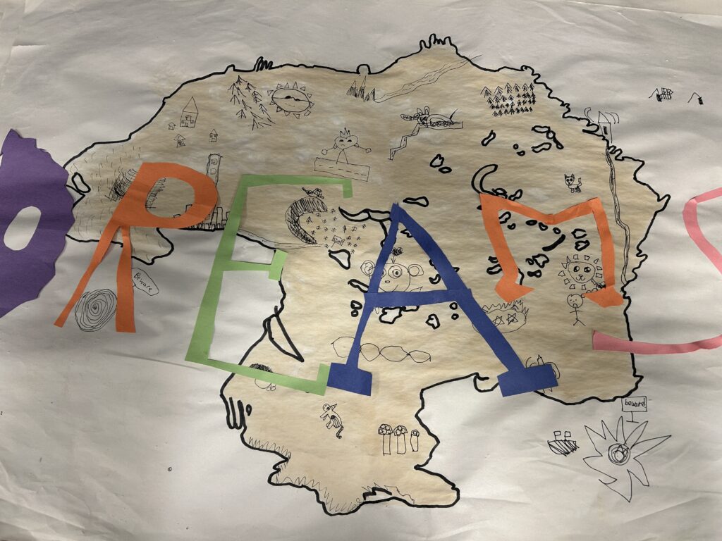
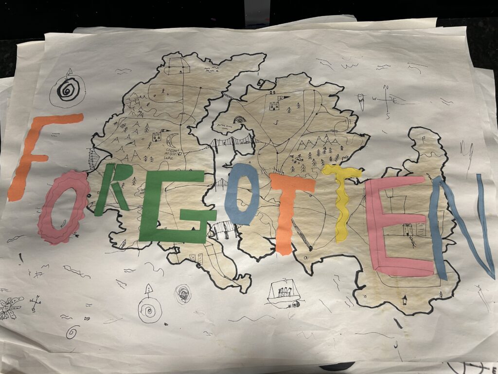
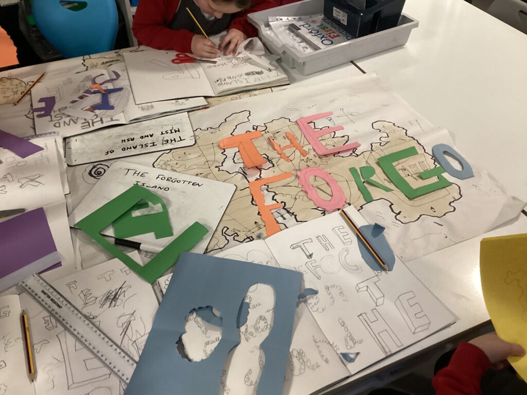
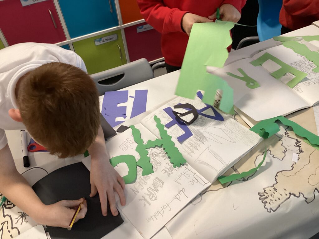
Whilst the Modroc dried, we explored typography and discussed why this is such an important feature of fantasy maps. We noticed that many novels begin with a made-up map, where the lettering has been carefully designed to match the mood and story. We began by line drawing our chosen island names, before moving on to cutting out letter forms. In a wonderful moment of spontaneity, George experimented with laying out his island’s name directly onto his and his partner’s map. The result looked so effective that we were inspired to adopt this creative decision across the whole class.


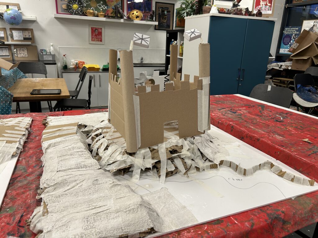


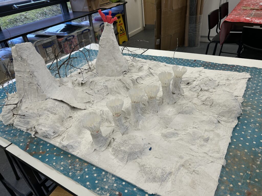
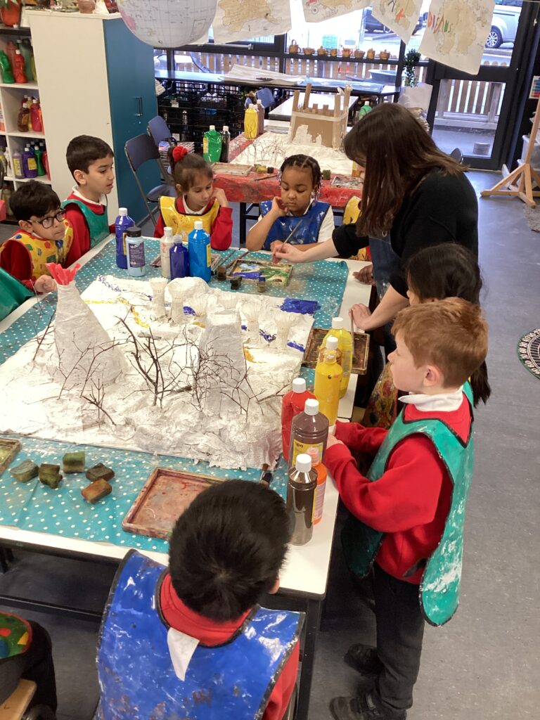
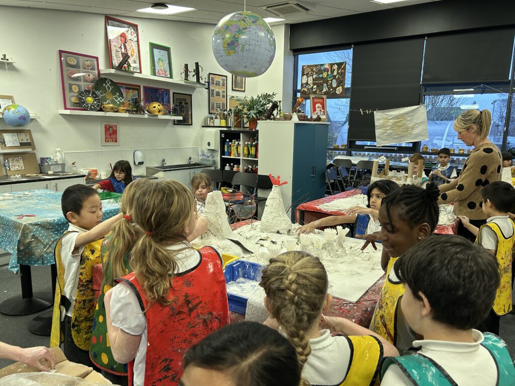
Once the Modroc was fully dry, we explored blotting, merging, and blending, thinking carefully about how to create different shades and tones for each type of terrain. We discussed how a forest floor would never be just one colour and experimented with layering and mixing to achieve more realistic textures. Working collaboratively, we combined our ideas to produce an absolutely wonderful final piece. We are excited to gift our completed map to Year 1’s provision. Thank you, 2CN — you have amazed me with your curiosity, teamwork, enthusiasm, and focus throughout this project.